| 008-012-068 |
|---|
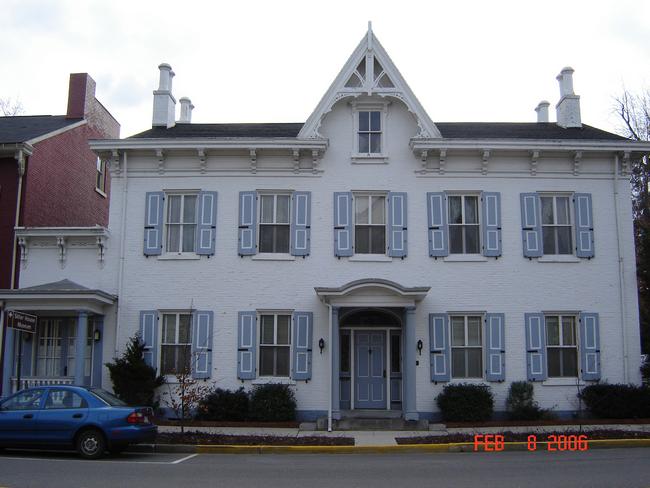
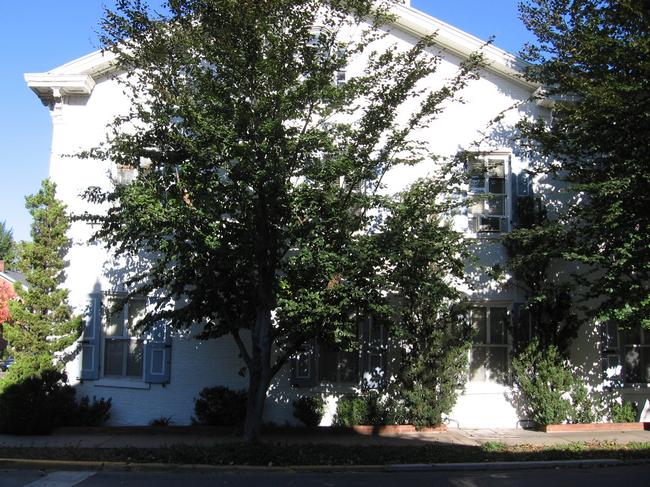
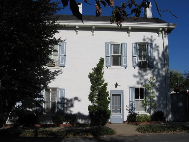
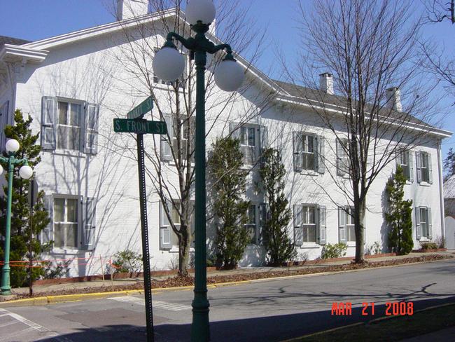
43 Market Street |
There are several printed publications on Lewisburg's architectural history, which may include pictures or written histories. Additional information on this structure (43 Market Street) can be found in the following texts:
Kalp, Lois. A Town on the Susquehanna 1769-1975, with an Epilogue 1975-1980. Lewisburg, PA: Colonial Printing.
Location: Bertrand Library, Bucknell University, Lewisburg, PA
This home is mentioned on page 99 as the home of George Miller and a picture with a description can be found on page 42
Institute for Regional Affairs, Bucknell University. “Historic Site Survey Union County Planning Commission.” June, 1976.
Location: University Archives, Bertrand Library, Bucknell University, Lewisburg, PA
Picture and short description of the architecture on pages 14 and 15Hitchcock, Elizabeth. “Architecture Lends Beauty and Distinction” The Story of a County: Union County Sesquicentennial. 1963.
Location: University Archives, Bertrand Library, Bucknell University, Lewisburg, PA
The architecture of the home briefly mentioned in the articleHistoric Union County. “Lewisburg: The Middle Years 1840-1880.” May, 2000.
Location: University Archives, Bertrand Library, Bucknell University, Lewisburg, PA
This brochure features a short paragraph on the architecture of the houseKalp, Lois. “Lewisburg: People and Events that Shaped its History.” Union County Pennsylvania: A Celebration of History. Snyder, Charles, Ed. Lewisburg, Pa: Union County Historical Society, 2000
Location: Bertrand Library, Bucknell University, Lewisburg, PAThis home is mentioned on page 122Diodato, compiler; C. DeEtte Edgett, Florence Pyle, and Deane Clements. Lewisburg’s Historic Architecture: Two Photographic Collections. 2008.
Location: Public Library for Union County, Lewisburg PA
Appears on the following slides with brief architectural notes: Edgett 181, Pyle/Clements 080.Union County Planning Commission. “ Union County Historic Preservation Plan, 1978.” Volume I. July 8, 2003.
Location: University Archives, Bertrand Library, Bucknell University, Lewisburg PA.
Photograph and brief architectural and historical information given on pages 14-17.The Sanborn Fire Insurance Company's primary business was appraising American homes for fire insurance. To do so, the company produced maps of thousands of American towns, including Lewisburg, Pennsylvania. The company updated its maps periodically between 1885 and 1944. A map set consists of from 4 to 20 sheets, each covering several blocks. Each parcel is mapped; if a structure exists on a parcel its footprint is drawn, together with such details as wall material, roof material, height, and the location of doors, windows, porches, and chimneys. More information on Sanborn maps is found on the Homepage of this disc, section 4B.
In the listing below, “no data” indicates that the Sanborn map for that year does not include the land parcel on which the above building is located. “Sheet 11” (for example) indicates that the parcel in question will be found on Sheet 11 of the map set for that year. The 1944 map is essentially the 1925 map with minor emendations.
1885: Sheet 2
1890: Sheet 2
1896: Sheet 2
1901: Sheet 2
1906: Sheet 2
1913: Sheet 3
1925: Sheet 8
1944*: Sheet 8No data.