| 008-012-011 |
|---|
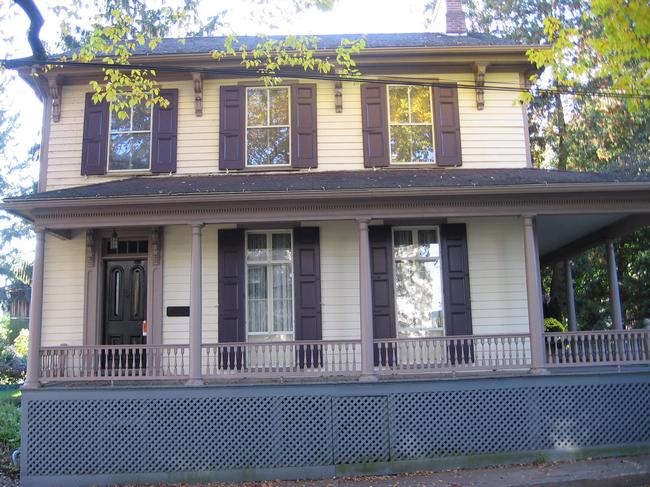
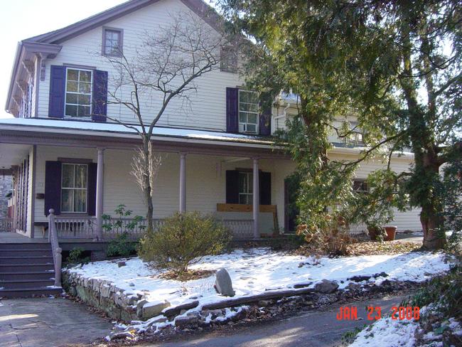
27 South Water Street |
 |
|
There are several printed publications on Lewisburg's architectural history, which may include pictures or written histories. Additional information on this structure (27 South Water Street) can be found in the following texts: Kalp, Lois. A Town on the Susquehanna 1769-1975, with an Epilogue 1975-1980. Lewisburg, PA: Colonial Printing. Institute for Regional Affairs, Bucknell University. “Historic Site Survey Union County Planning Commission.” June, 1976. Hitchcock, E.L. “Architecture of Lewisburg Area” Diodato, compiler; C. DeEtte Edgett, Florence Pyle, and Deane Clements. Lewisburg’s Historic Architecture: Two Photographic Collections. 2008. Union County Planning Commission. “ Union County Historic Preservation Plan, 1978.” Volume I. July 8, 2003. |
|
The Sanborn Fire Insurance Company's primary business was appraising American homes for fire insurance. To do so, the company produced maps of thousands of American towns, including Lewisburg, Pennsylvania. The company updated its maps periodically between 1885 and 1944. A map set consists of from 4 to 20 sheets, each covering several blocks. Each parcel is mapped; if a structure exists on a parcel its footprint is drawn, together with such details as wall material, roof material, height, and the location of doors, windows, porches, and chimneys. More information on Sanborn maps is found on the Homepage of this disc, section 4B. In the listing below, “no data” indicates that the Sanborn map for that year does not include the land parcel on which the above building is located. “Sheet 11” (for example) indicates that the parcel in question will be found on Sheet 11 of the map set for that year. The 1944 map is essentially the 1925 map with minor emendations. 1885: No data. |
|
No data. |